currently supported visualization tools
Climate Toolbox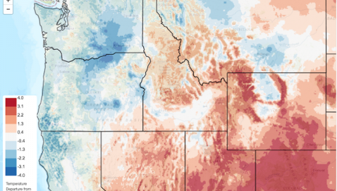
Climate Toolbox is a collection of climate visualization tools for mapping past, present, and future climate across the United States. Data are updated daily.
|
Climate engine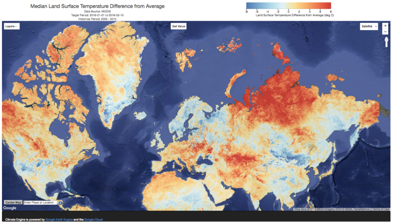
ClimateEngine.org is a web application that utilizes cloud computing to rapidly access and visualize climate and remotely sensed datasets using the Google Earth Engine.
|
tools previously developed
Drought tracker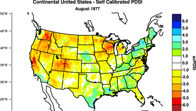
West Wide Drought Tracker tracks monthly climate and drought indices across the US. Operational data is updated monthly and housed at the WRCC.
|
Freezing level tracker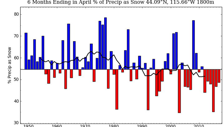
The North American Freezing Level Tracker tracks free-air temperatures, the elevation of the freezing level, and fraction of precipitation falling as snow. Operational data is updated daily and housed at the WRCC.
|
california climate tracker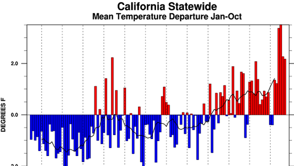
The California Climate Tracker tracks monthly climate variability across regions of California. Operational data updated monthly and housed at the WRCC.
|
Integrated scenarios
The Integrated Scenarios website provides information, download tools and visualization tools to improve the accessibility of the data from the Integrated Scenarios of the Future Northwest Environment project.
|
Tools developed by students
IDAHO SNOWFALL TOOL
Master's student Abigail Lute developed a tool that provides probabilistic information regarding annual snowfall totals and extreme snowfall events for basins in Idaho.
|
climate-wheat yields tool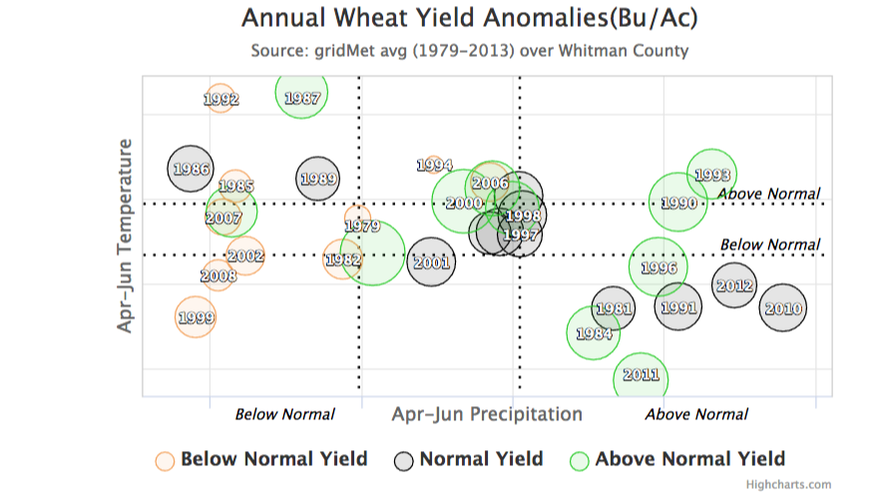
Master's student Wenlong Feng helped developed an interface for visualizing relationships between winter wheat yields and climate variables across counties in the Columbia Basin.
|